top of page

Post 001


Triassic

pertaining to a period of the Mesozoic Era, occurring from 230 to 190 million years ago and characterized by the advent of dinosaurs and coniferous forests.


Holocene

Pertaining to the present epoch, originating at the end of the glacial period, about 10,000 years ago, and forming the latter half of the Quaternary Period; Holocene.


Pleistocene

Pertaining to the epoch forming the earlier half of the Quaternary Period, beginning about two million years ago and ending 10,000 years ago, characterized by widespread glacial ice and the advent of modern humans.


Permian

Pertaining to a period of the Paleozoic Era occurring from about 280 to 230 million years ago and characterized by a profusion of amphibian species.


Carboniferous

Pertaining to a period of the Paleozoic Era, including the Pennsylvanian and Mississippian periods as epochs, occurring from 345 million to 280 million years ago.
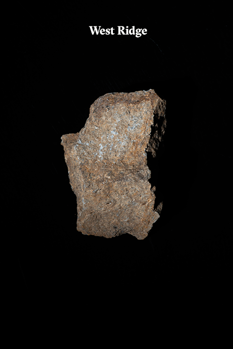
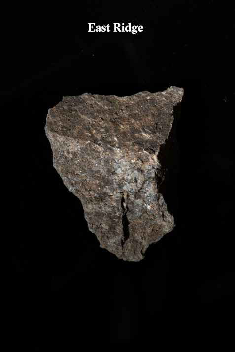

Post 002


Granite

a coarse-grained igneous rock composed chiefly of orthoclase and albite feldspars and of quartz, usually with lesser amounts of one or more other minerals, as mica, hornblende, or augite.


Ridge

The long and narrow upper edge, angle, or crest of something, as a hill, wave, or vault.


Albizia

A genus of more than 160 species of mostly fast-growing subtropical and tropical trees


Felsic Igneous

Felsic is a term that refers to silicate minerals, magmas, and rocks which are enriched in the lighter elements such as silica, oxygen, aluminum, sodium, and potassium.


Granular

resembling or consisting of small grains or particles


Phaneritic

relating to an igneous rock in which the crystals are so coarse that individual minerals can be distinguished with the naked eye. Phaneritic rocks are intrusive rocks that cooled slowly enough to allow significant crystal growth.


Post 003


Mesozoic

The Mesozoic Era is the age of the dinosaurs and lasted almost 180 million years from approximately 250 to 65 million years ago. This era includes 3 well known periods called the Triassic, Jurassic, and Cretaceous periods. A mass-extinction marked the beginning and end of the Mesozoic era.


Pangea

the name given the one large area of land that, in theory, broke apart to create the present continents


Plate Tectonic

the theory that Earth's outer shell is divided into several plates that glide over the mantle, the rocky inner layer above the core.


Sedimentary Rocks

one of three main types of rocks, along with igneous and metamorphic. They are formed on or near the Earth’s surface from the compression of ocean sediments or other processes.


Beds

the smallest division of rock or deposit


Andesite

any member of a large family of rocks that occur in most of the world’s volcanic areas. Andesites occur mainly as surface deposits and, to a lesser extent, as dykes and small plugs.


Biotite

also called black mica, a silicate mineral in the common mica group. It is abundant in metamorphic rocks (both regional and contact), in pegmatites, and also in granites and other intrusive igneous rocks.


Subduction Zone

The biggest crash scene on Earth. These boundaries mark the collision between two of the planet's tectonic plates. The plates are pieces of crust that slowly move across the planet's surface over millions of years.


Journals/Research papers can be found here


Links :


The Triassic Period was the first period of the Mesozoic Era and occurred between 251 million and 199 million years ago. It followed the great mass extinction at the end of the Permian Period and was a time when life outside of the oceans began to diversify.


At the beginning of the Triassic Period, the landmasses of the world were still bound together into the vast supercontinent known as Pangea. Pangea began to break apart in the Middle Triassic, forming Gondwana (South America, Africa, India, Antarctica, and Australia) in the south and Laurasia (North America and Eurasia) in the north. The movement of the two resulting supercontinents was caused by seafloor spreading at the midocean ridge lying at the bottom of the Tethys Sea, the body of water between Gondwana and Laurasia. While Pangea was breaking apart, mountains were forming on the west coast of North America by subduction of the ocean plates beneath the continental plates. Throughout the Middle to Upper Triassic, mountain-forming continued along the coast extending from Alaska to Chile. As mountains were forming in the Americas, North Africa was being split from Europe by the spreading rift. This division of the continents advanced further westward, eventually splitting eastern North America from North Africa.


Artist’s impression of what Singapore might have looked like looking north from the vicinity of Sentosa in the Late Triassic Period (200 Ma) before the mountains were eroded away to the low hills of the present time. The Bukit Timah Fault scarp and the Bukit Timah Granite and Gomback Gabbro form the mountains in the distance. In the foreground braided rivers drain into Lake Sentosa. The dinosaur in the front centre is the predator Coelophysis. Painted by W. Sillins. This is an excerpt from "A Field Guide To The Geology Of Singapore by Grahame J. H. Oliver and Avijit Gupta ".


The Belts


To understand the geology of Singapore, it is necessary to review the regional geology of the Malaysian Peninsula in terms of plate tectonic evolution. Linear belts of sedimentary and igneous rocks that run north northwest‒south southeast down the Malaysian Peninsula can be divided into three belts, namely the Eastern, Central and Western Belts.


The Eastern Belt

In eastern Johor in southern Peninsular Malaysia, fossiliferous Permian conglomerates unconformably overlie metamorphosed sandstone (quartzite) and mudstone (biotite schist) of the Mersing Beds which are assumed to be Carboniferous in age (350‒300 Ma1). Younger Permian (~300‒250 Ma) shallow water marine sediments and Permian to Middle Triassic (285‒240 Ma) andesitic volcanics and granites (with biotite and hornblende) are typical of those rocks found at modern active margins where subduction is occurring under volcanic arcs (e.g., as in the present day Andes or in the Sumatra–Java Volcanic Arc). The Eastern Belt is also called the Sukhothai Volcanic Arc which can be traced into Thailand and Cambodia. Permian fossil plants indicate equatorial affinities with Indochina. In Singapore, the boundary between the Central and Eastern Belts is marked by the Bukit Timah Fault


The Central Belt

The Central Belt contains thick sequences of fossiliferous shallow water marine Middle Permian to Middle Triassic (i.e., 275‒240 Ma) mudstones and limestones and associated andesitic volcanic and Andean-type granites similar to (and therefore a younger continuation of) those in the Eastern Belt Sukhothai Volcanic Arc. The Central Belt is distinguished from the Eastern Belt by having Late Triassic (i.e., 230‒200 Ma) continental red-bed deposits of sandstones and conglomerates.


The Western Belt

The Western Belt has a Cambrian (~500 Ma) to Middle Triassic (~240 Ma) marine sedimentary sequence including low latitude Permo-Carboniferous glacial marine beds. There is a notable lack of Permian volcanic activity in the Western Belt generally and no record of Late Triassic sedimentation. Fossils indicate cold water Gondwana Permian fauna in contrast to the equatorial Indochinese Permian fauna of the Eastern Belt. The Western Belt is thought to represent the passive continental margin of Gondwanaland. Granites in the Western Belt contain biotite and muscovite, similar to Himalayan continental collision granites and in contrast to the biotite-hornblende subduction zone granites in the Central and Eastern Belts. Western Belt granites are dated as Late Triassic (between 220‒200 Ma) and are therefore younger than the Central Belt granites (280‒220 Ma).


Documentation Progress

Above is a photogrammetry render of a rock sample taken from Dairy Farm. Approximately about 500 photos were taken to recreate this virtually. Photos were stitched in Agisoft Photoscan and then rendered in Unity. We wanted to test how these rocks would look like in Unity as we intend to recreate the space using the documented rocks as samples for our virtual environment.

Characteristics


Granite is a common type of felsic igneous rock that has a granular and phaneritic type of texture. They are usually white, pink or grey in colour, depending on their mineralogy. Granite is nearly always massive, hard, and tough. These properties have made granite a widespread construction stone throughout human history. Granite has poor primary permeability overall, but strong secondary permeability through cracks and fractures if they are present.


Granite is a rock that is mined from around the world. The rock is formed by slowly cooling pockets of magma that were trapped beneath the earth’s surface. Most scientists will say it is very unlikely for fossils of any kind of be found in granite because of granite forms at great depths, under conditions that would obliterate organic tissue. So, not only is the formation process a bit harsh, but the granite remains molten for millions of years before cooling.


Field Notes [24.04.20]


Location: Dairy Farm Quarry


We made our first field trip to Dairy Farm Quarry as it was the most accessible space where we could observe and study the exposed rocks.


0700

Space was quiet with barely any human activity. We were the only ones for a good 20 minutes before other park users started to appear around the area but it was still less than 10 people using the space. Most users were doing static exercises or passing through on their bicycles. A mountain bike trail runs across the back of the quarry.


East Ridge

We started off with the East Ridge as the prominent exposed rock faces drew our attention the most. The East Ridge was also much bigger than the West Ridge. Evidence of water seeping through the cracks was also found on the East Ridge. This also confirmed that there was groundwater underneath the East Ridge. We also noticed bolting points on the rock surfaces done by rock climbers. A prominent Albizia tree (approximately 20m tall) growing near the East Ridge can be used as a landmark too.


West Ridge

After exploring the East Ridge, we headed towards the West Ridge. The crack patterns on the rock faces were somewhere a tad different. Cracks were more prominent and straight. It definitely looked unnatural ( might have been caused by human intervention). The West Ridge also had less foliage and less exposed rock faces.


We took samples of granite rocks from both ridges. Samples from the West Ridge tend to have more red sediments/minerals on them whereas some of the samples from the East Ridge had samples that were less smooth and more porous.

bottom of page